Due to a period of time off we are closed until 5th October 2024. We appreciate your custom and if you wished to place an order, we hope that you are happy to return in October! Thank you.

Isle of Mull Wall Map 45cm

£220.00

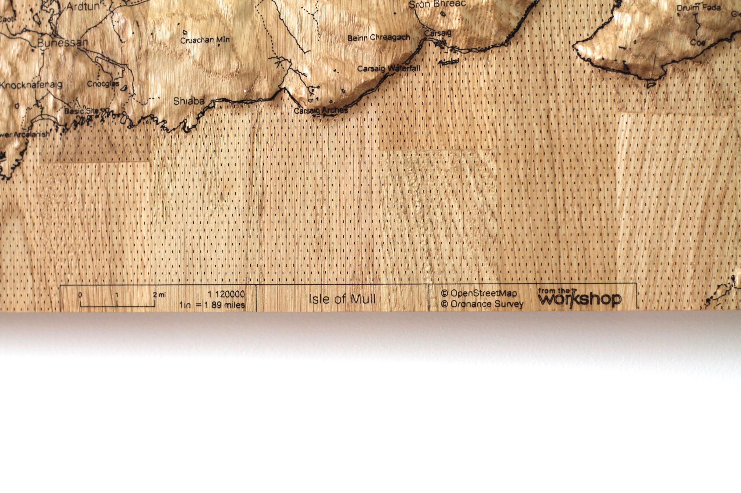
The Isle of Mull Wall Map is carved from solid oak and engraved with a sharp, clean map design. The map is 45cm square, with a depth of 4cm.

We use FSC certified staved oak, formed from several solid pieces. The oak is carved to shape based on Ordnance Survey height data. The map is also based on OS data and is engraved onto the shaped surface. It is carefully finished with a natural blend of oils and waxes.

The Isle of Mull (Scottish Gaelic An t-Eilean Muileach) is the second-largest island of the Inner Hebrides (after Skye) and lies off the west coast of Scotland in the council area of Argyll and Bute.  Mull is the fourth-largest Scottish island and the fourth-largest island surrounding Great Britain (excluding Ireland). The island has a mountainous core; the highest peak on the island is Ben More, which reaches 966 metres (3,169 ft).

Description

The Isle of Mull Wall Map is carved from solid oak and engraved with a sharp, clean map design. The map is 45cm square, with a depth of 4cm.

We use FSC certified staved oak, formed from several solid pieces. The oak is carved to shape based on Ordnance Survey height data. The map is also based on OS data and is engraved onto the shaped surface. It is carefully finished with a natural blend of oils and waxes.

The Isle of Mull (Scottish Gaelic An t-Eilean Muileach) is the second-largest island of the Inner Hebrides (after Skye) and lies off the west coast of Scotland in the council area of Argyll and Bute.  Mull is the fourth-largest Scottish island and the fourth-largest island surrounding Great Britain (excluding Ireland). The island has a mountainous core; the highest peak on the island is Ben More, which reaches 966 metres (3,169 ft).

Additional information

Weight 6 kg
Dimensions 45 × 45 × 4 cm
Shopping Cart